0294.01.0072
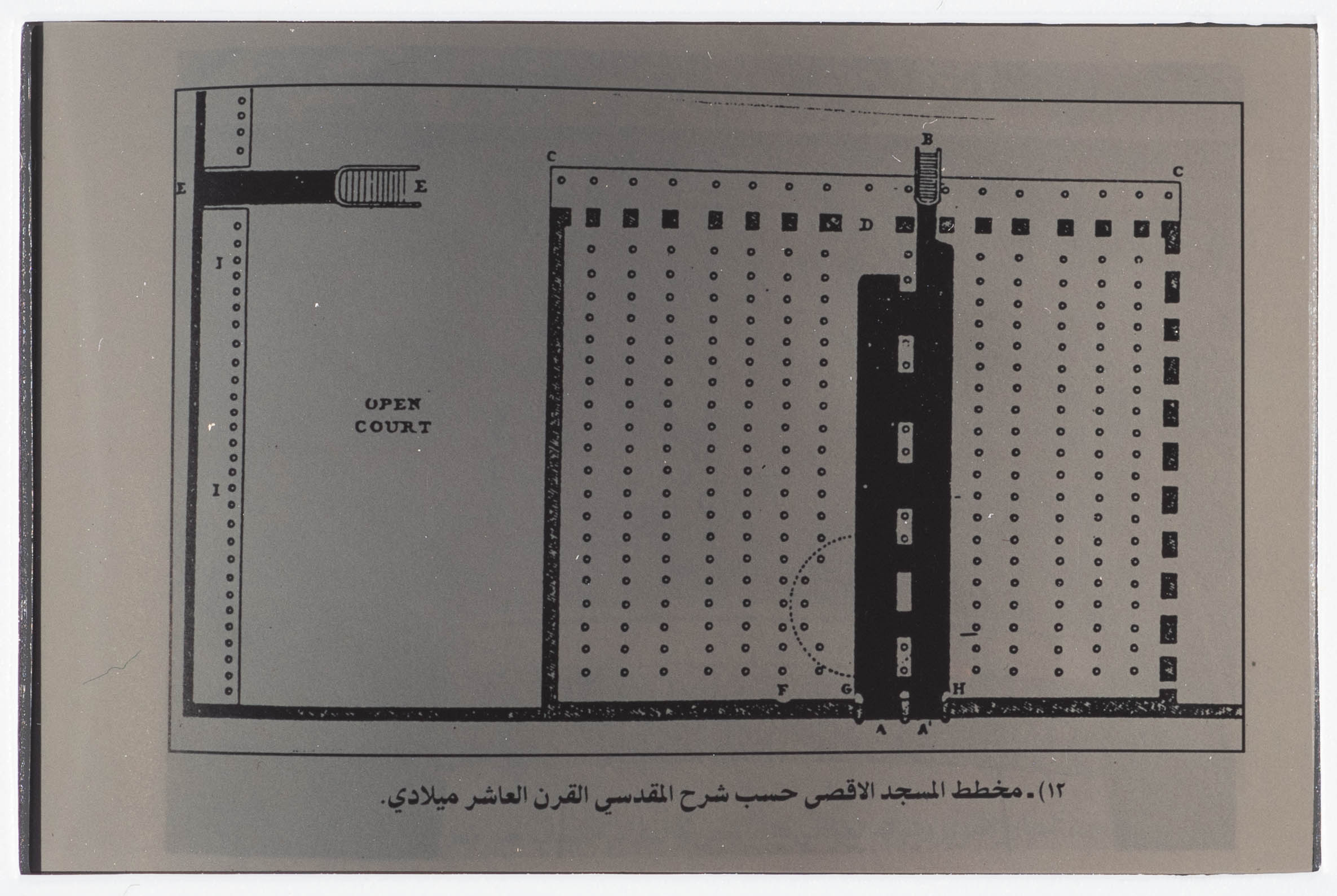
A Map Drawn by al-Maqdisy of al-Aqsa Mosque in the 10th Century AD
Found in Ibrahim al-Fanny's archive, this is a map drawn by al-Maqdisy of al-Aqsa Mosque during the tenth century AD; according to the document, the Mosque had 15 arcades at that time.
Tags
Topics
TYPE
LOCATION
More details
Format
Color slides
Source of Description
Jubeh, Baha (Palestinian Museum Registrar), recorded interview with PMDA researcher Samar Ozrail, 2 March 2020, the Palestinian Museum Digital Archive.
Physical status
medium
Help us refine the information, suggest a change in the content of this item
Suggest a Change0294.01.0072
A Map Drawn by al-Maqdisy of al-Aqsa Mosque in the 10th Century AD
This photo may contain violent content