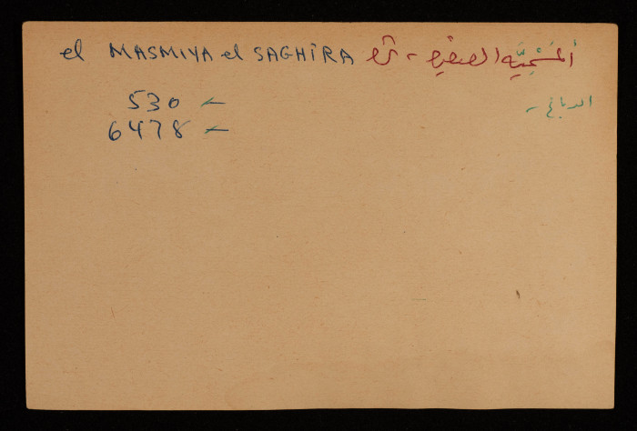
A Paper Clipping Documenting the Spelling of "al-Masmiyya al-Saghira", a Depopulated Village Northeast of Gaza
A paper clipping documenting the spelling of "al-Masmiyya al-Saghira", a depopulated village in the Gaza Subdistrict, located 42 kilometres northeast of Gaza. Established in the 19th century, it was situated at an elevation of 60 meters in the coastal plain of Palestine. North of the village passes Wadi al-Zurika, one of the main affluents of the Suqrir River but the village has no springs but there are several wells, the depths of which range between 30 and 40 meters. In 1931 it had 73 houses and in 1945 its space reached 18 dunums and the area of its land was 6,478 dunums, of which the Jews did not own anything. The village did not have any kind of services, and children studied in al-Masmiyya al-Kabira School and its residents depended on groundwater for drinking and household purposes and its economy was based on agriculture. The most important of its crops are grains, citrus which was planted on 147 dunums, and olives were planted on two dunams. In addition to that, residents worked in raising livestock and poultry. The Jews displaced the Arab residents of the village in 1948 and destroyed it, and in 1956 they established the Kfar HaRif moshav, one kilometre southwest of its location.
Tags
Topics
TYPE
LOCATION
More details
Format
Color photographs
Source of Description
https://www.palestinapedia.net/المسمية-الصغيرة-قرية/
Physical status
medium
Help us refine the information, suggest a change in the content of this item
Suggest a Change
