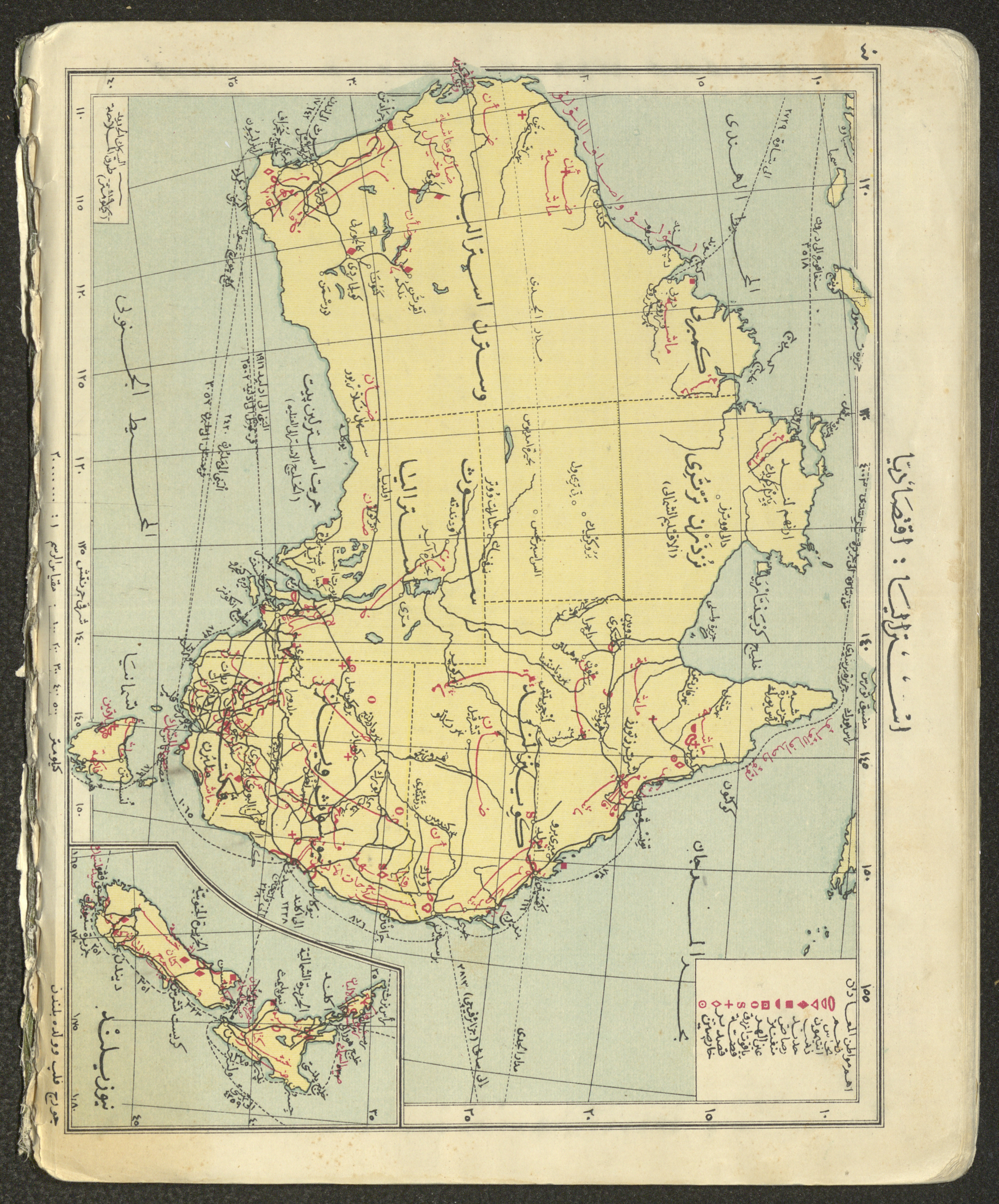
Primary Atlas, 1926
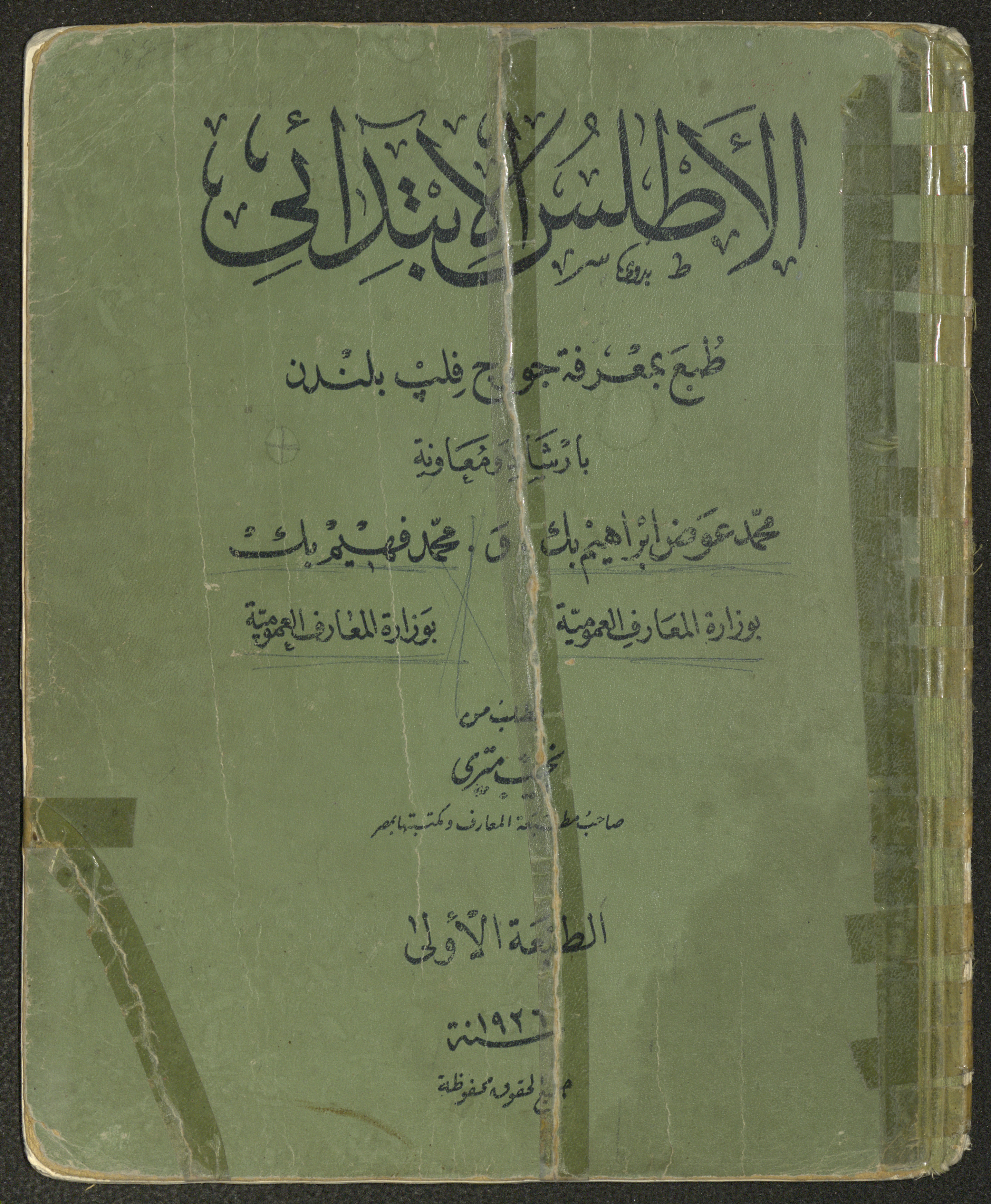
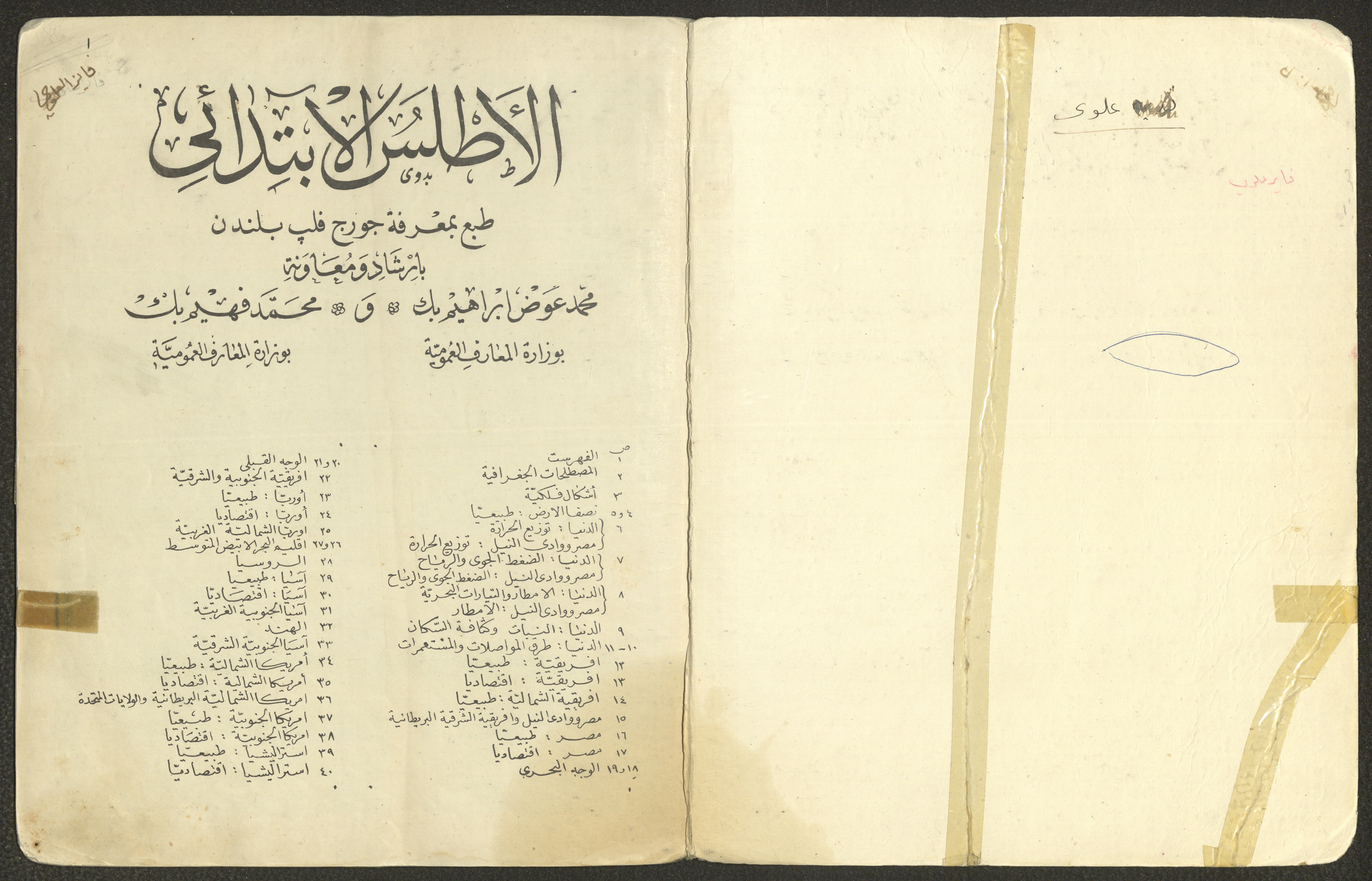
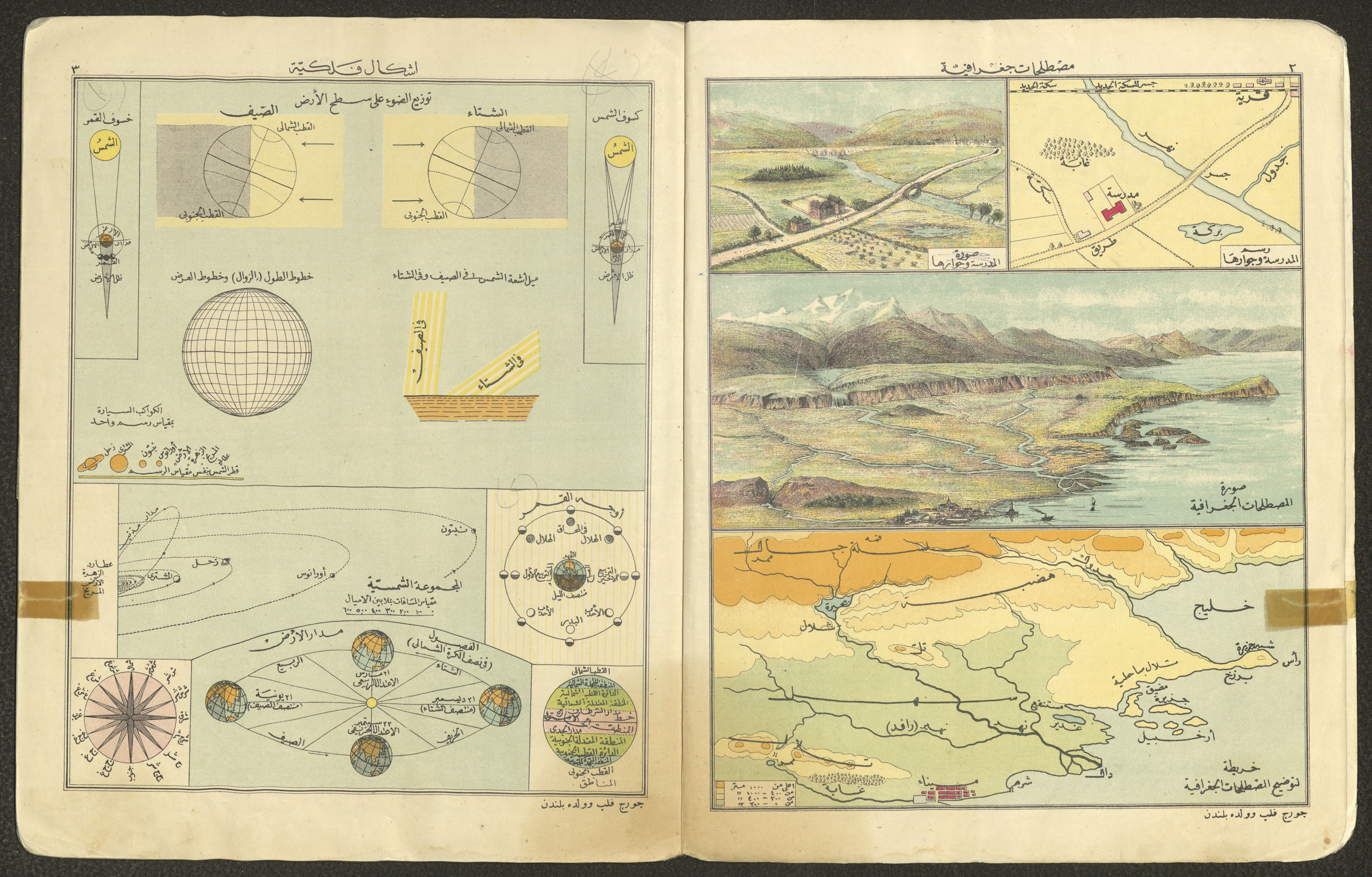
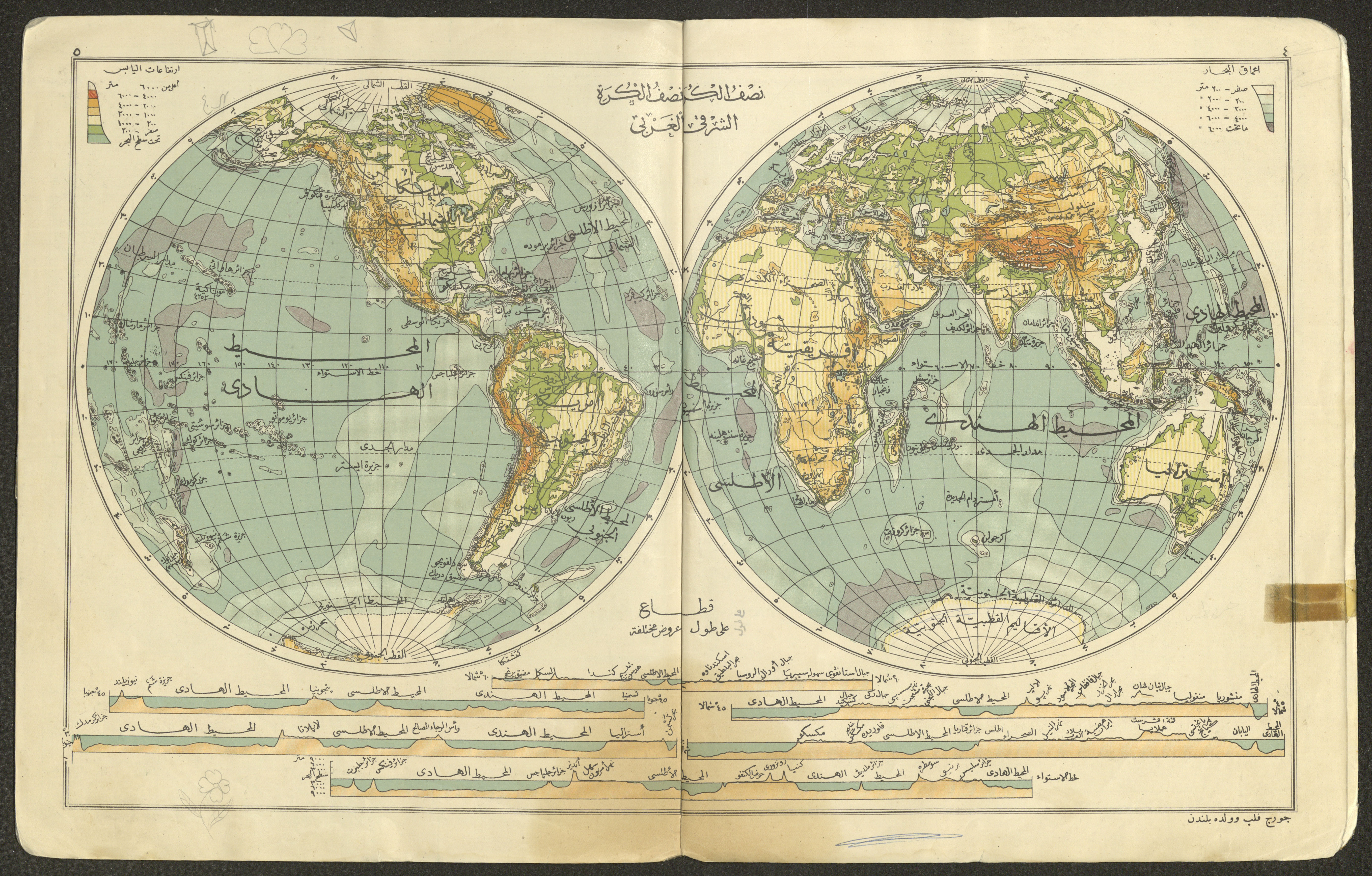
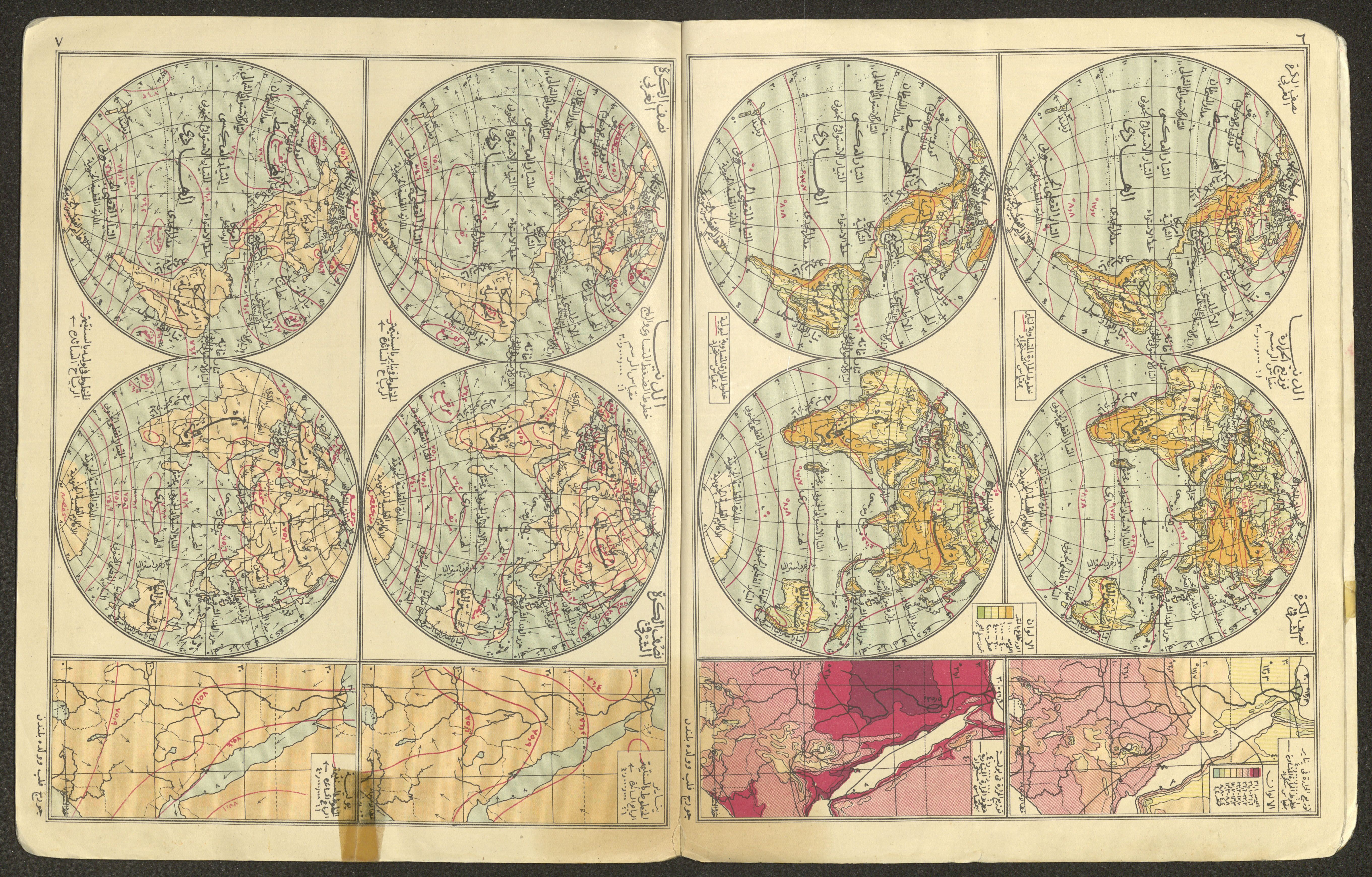
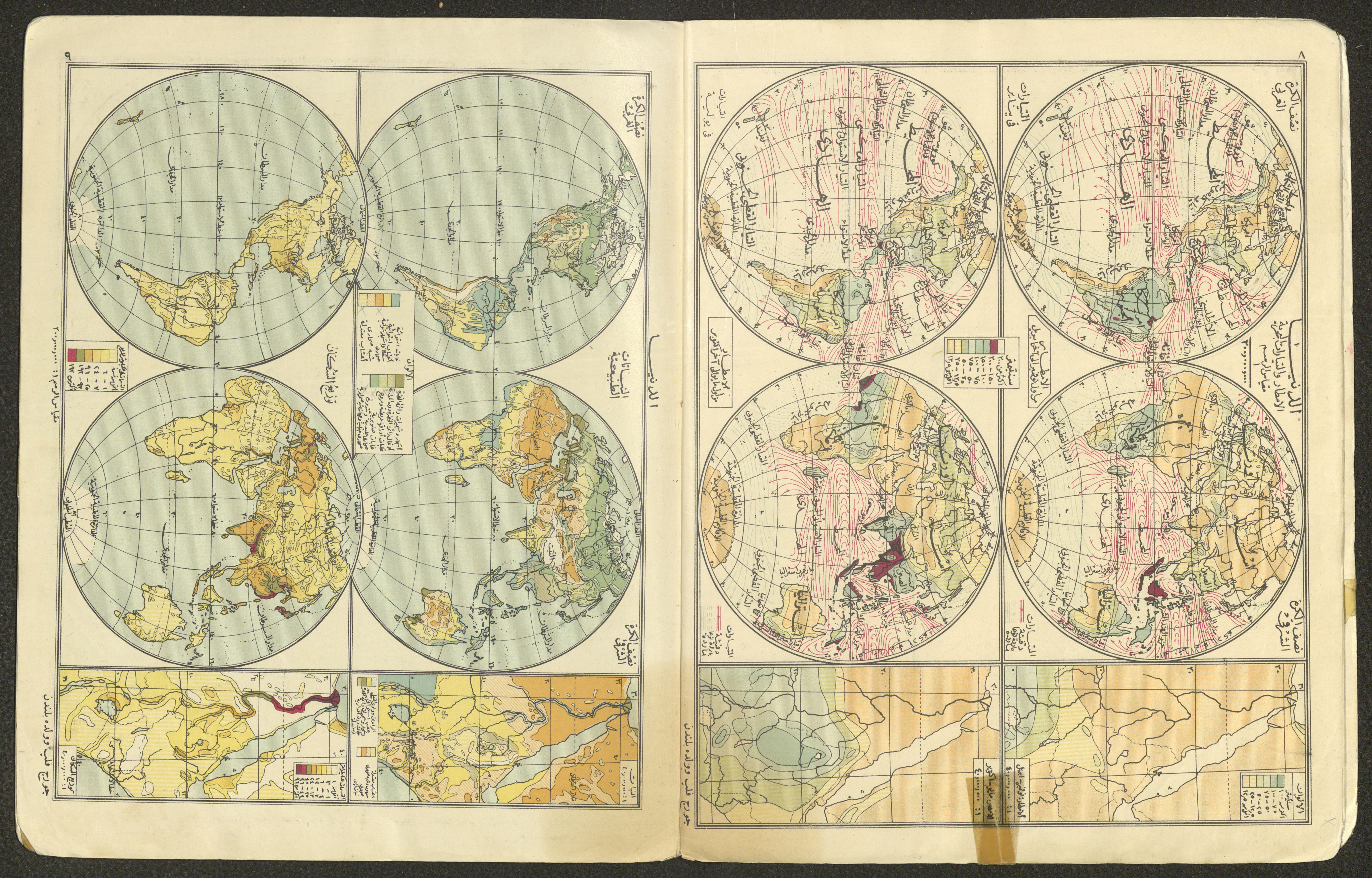
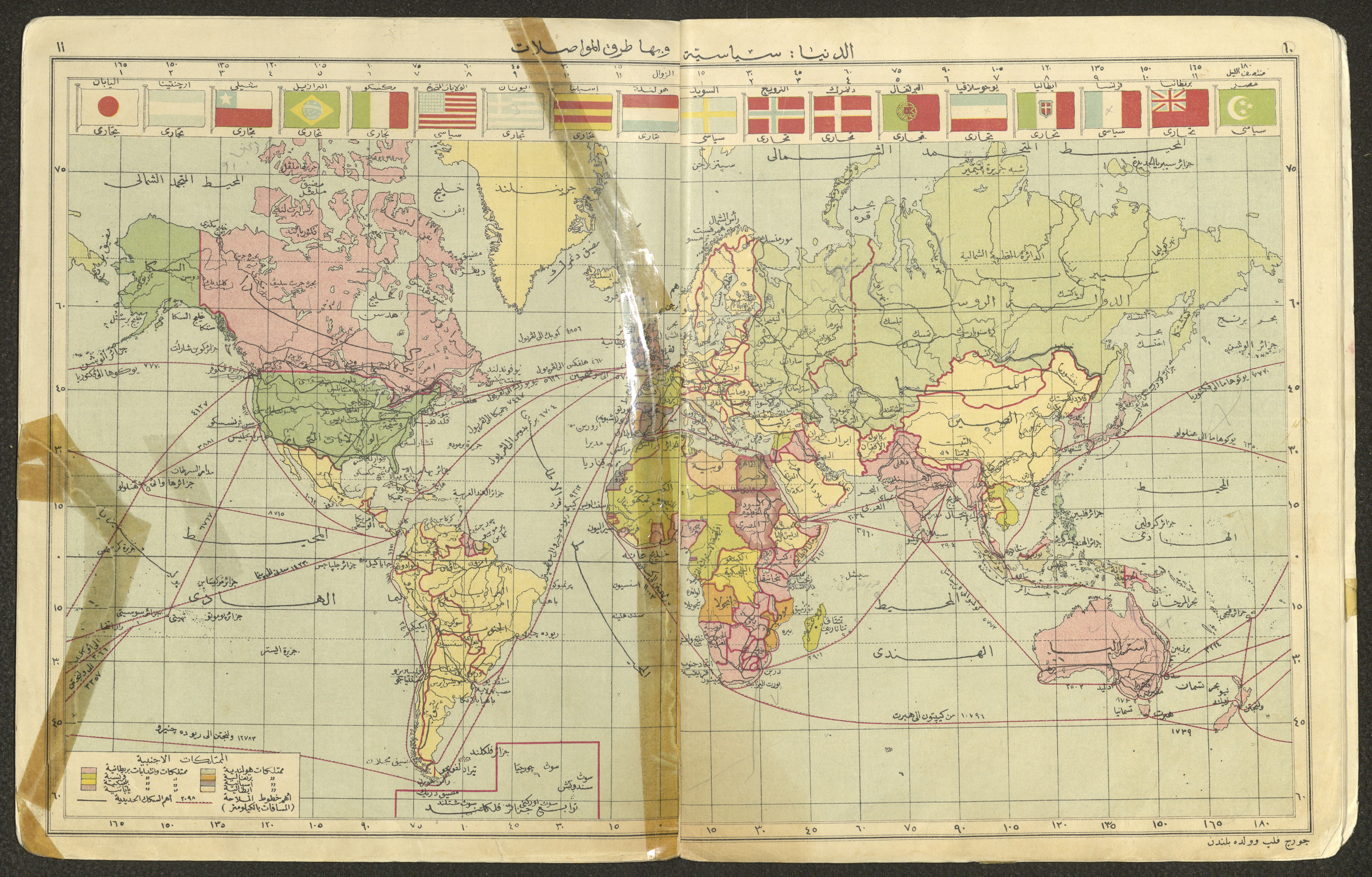
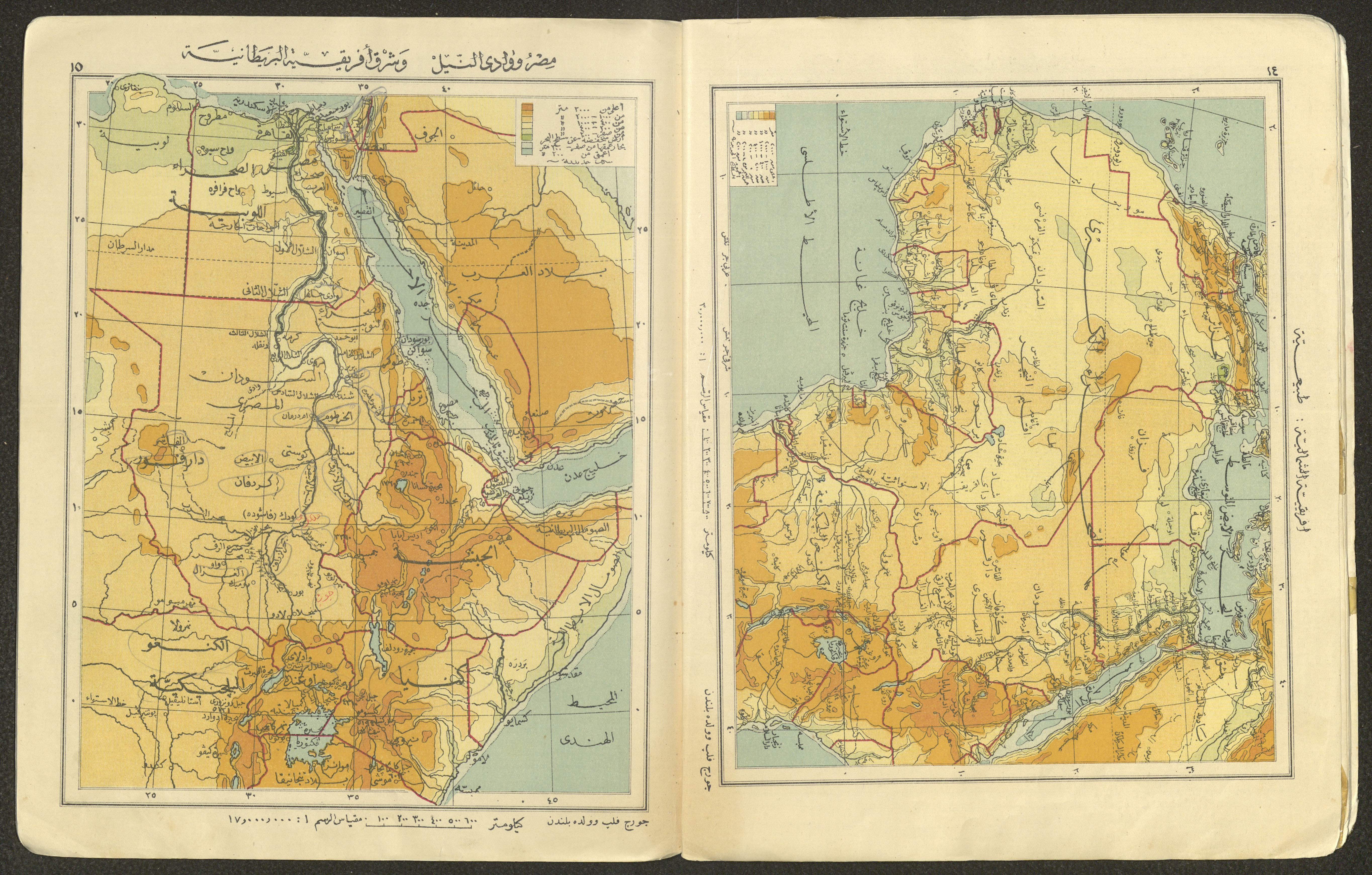
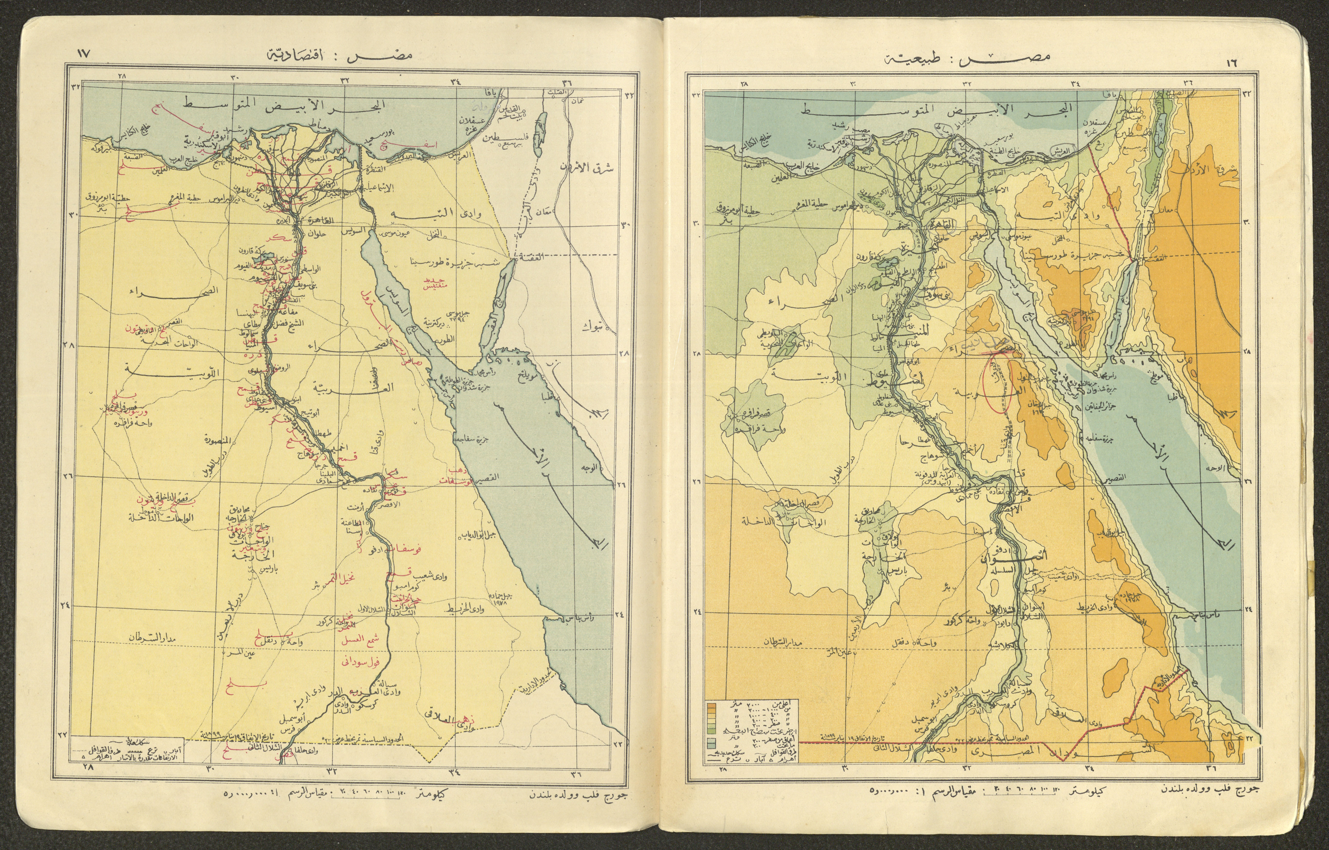
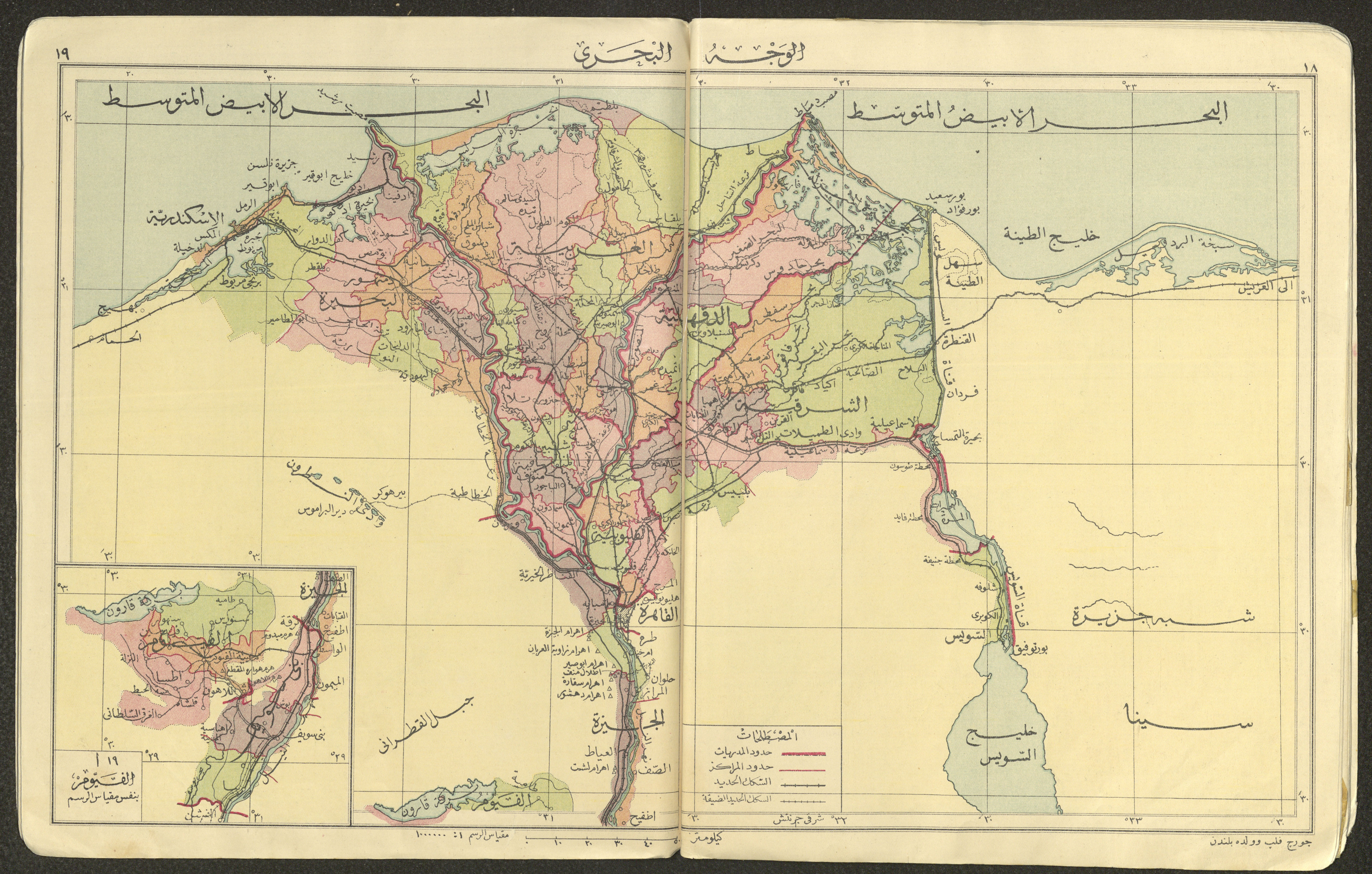
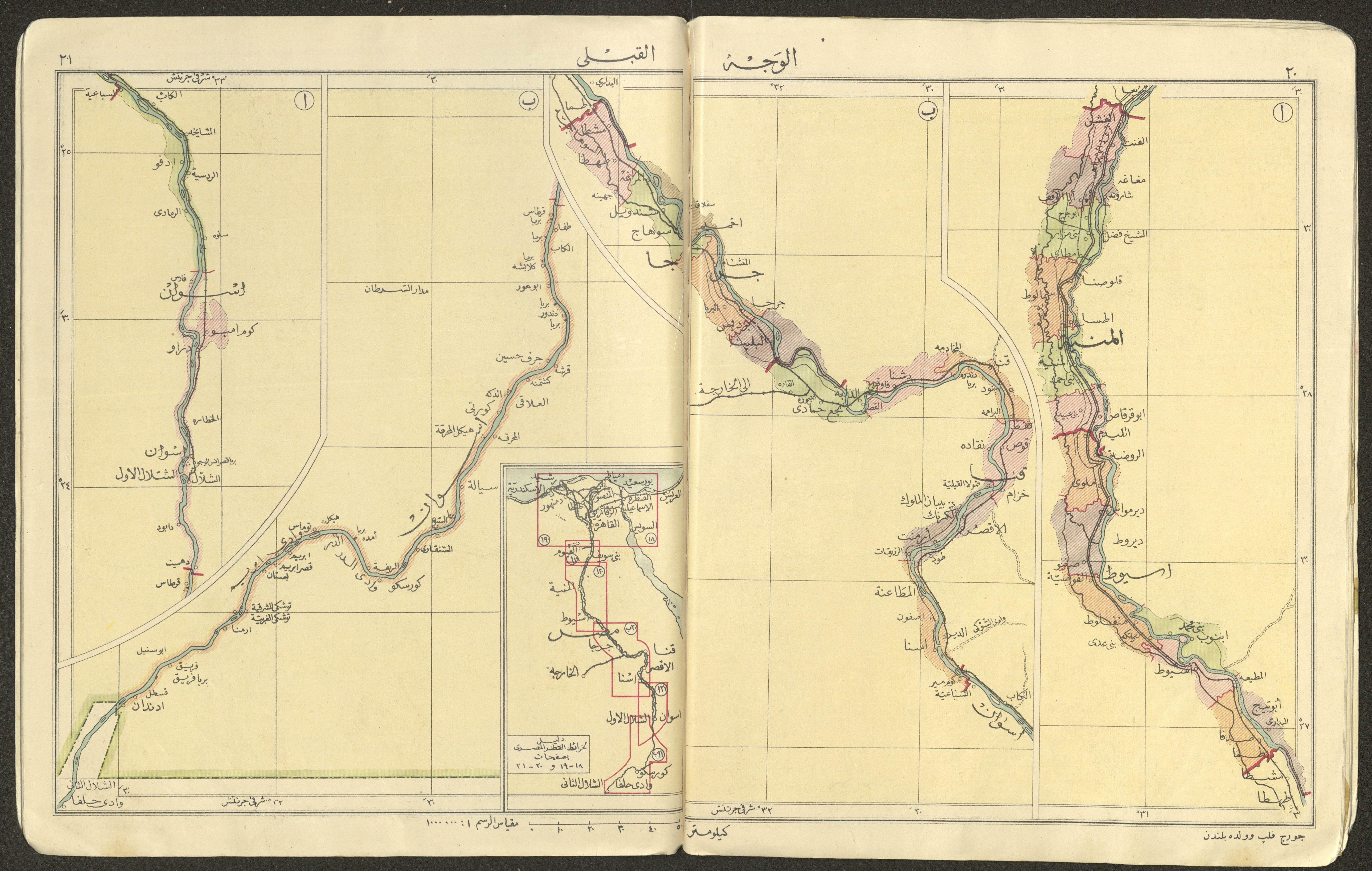
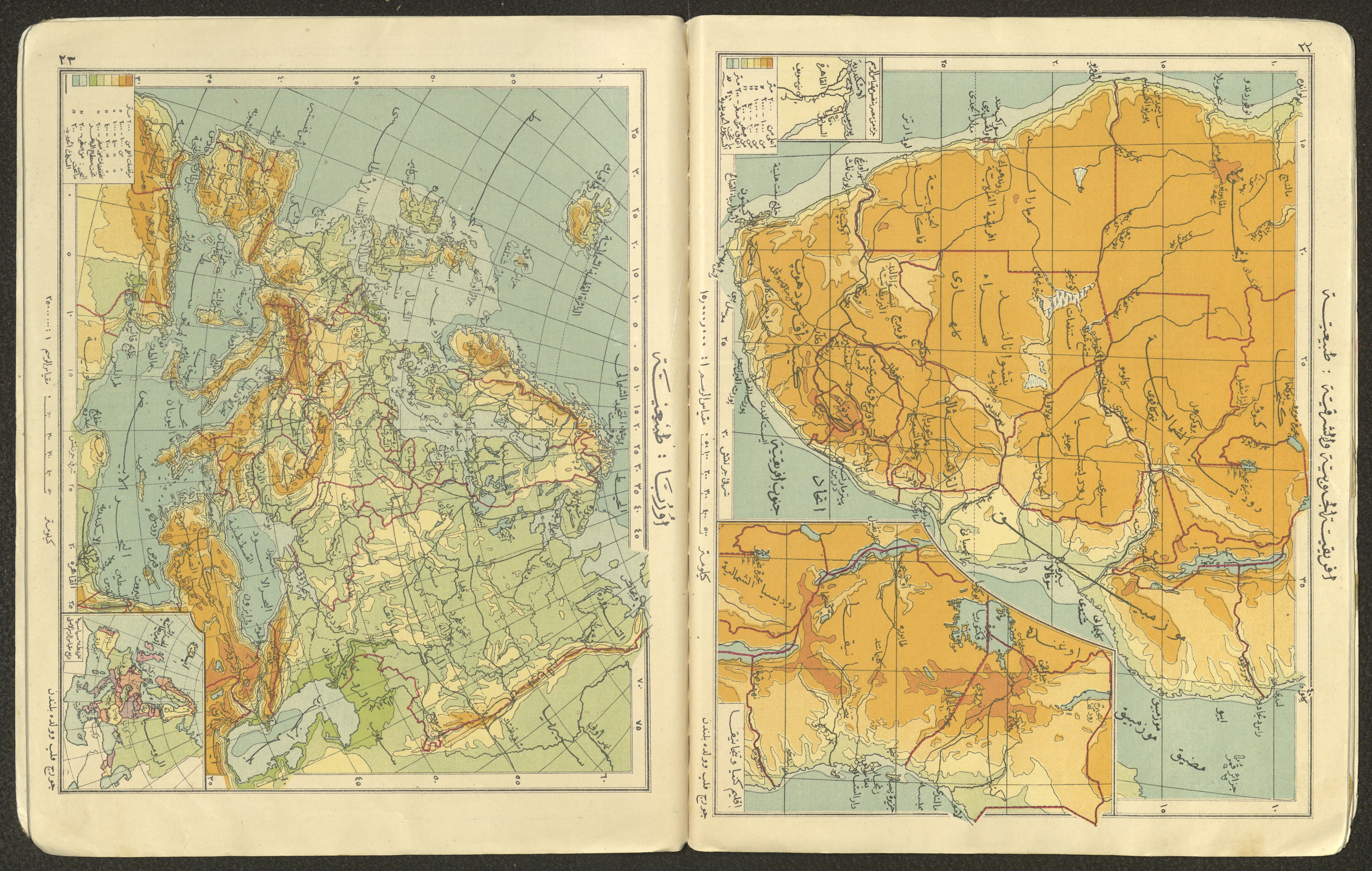
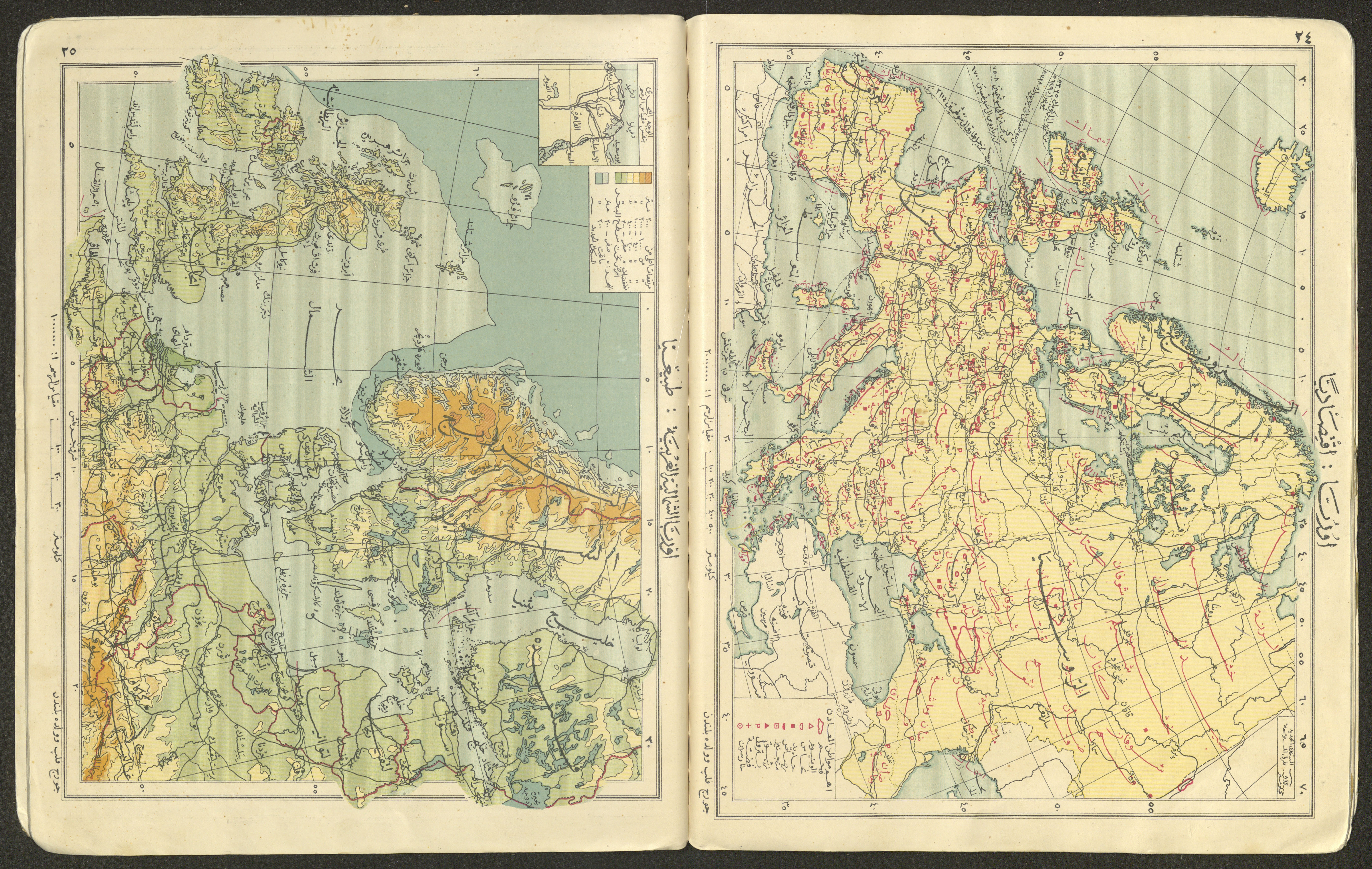
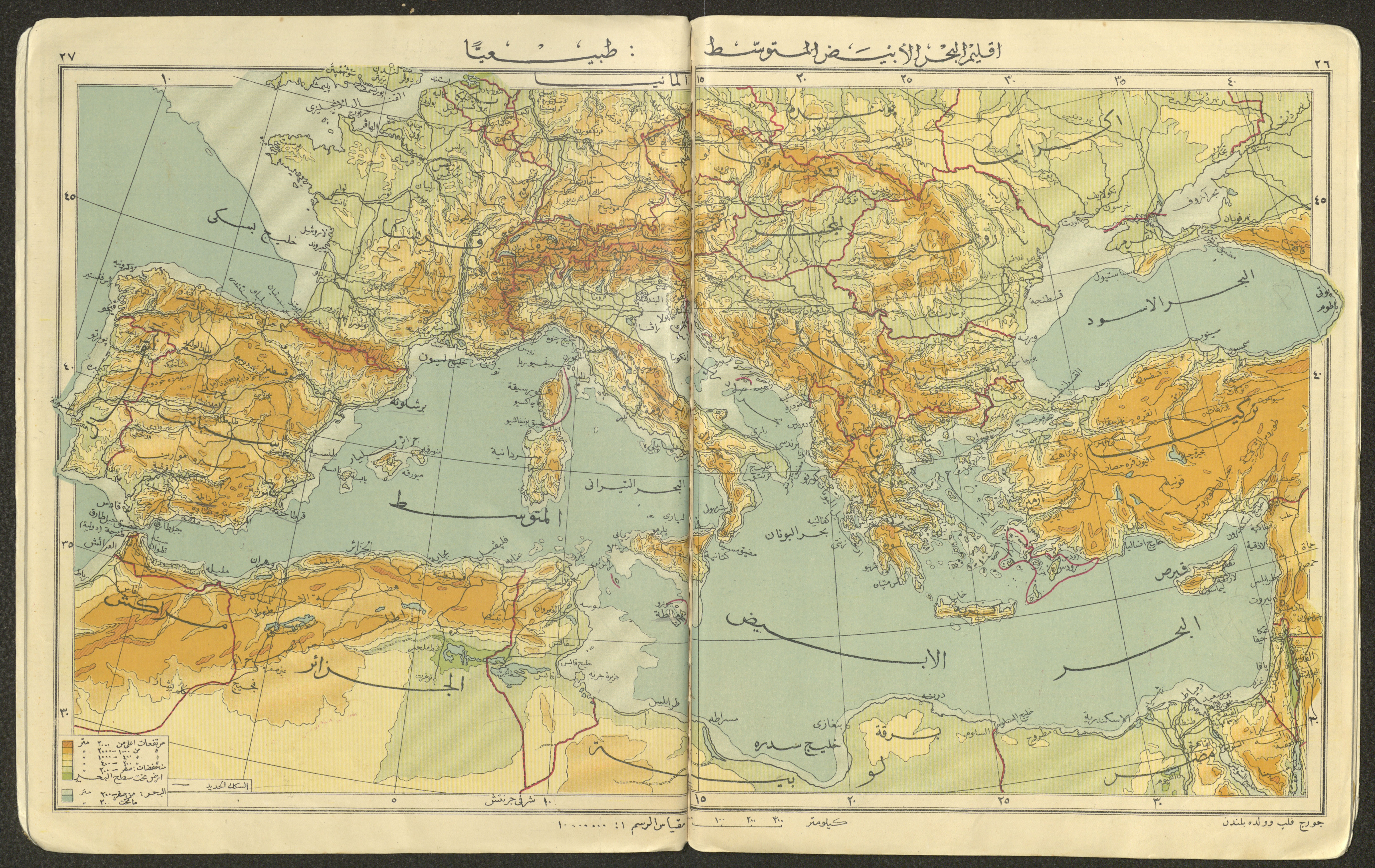
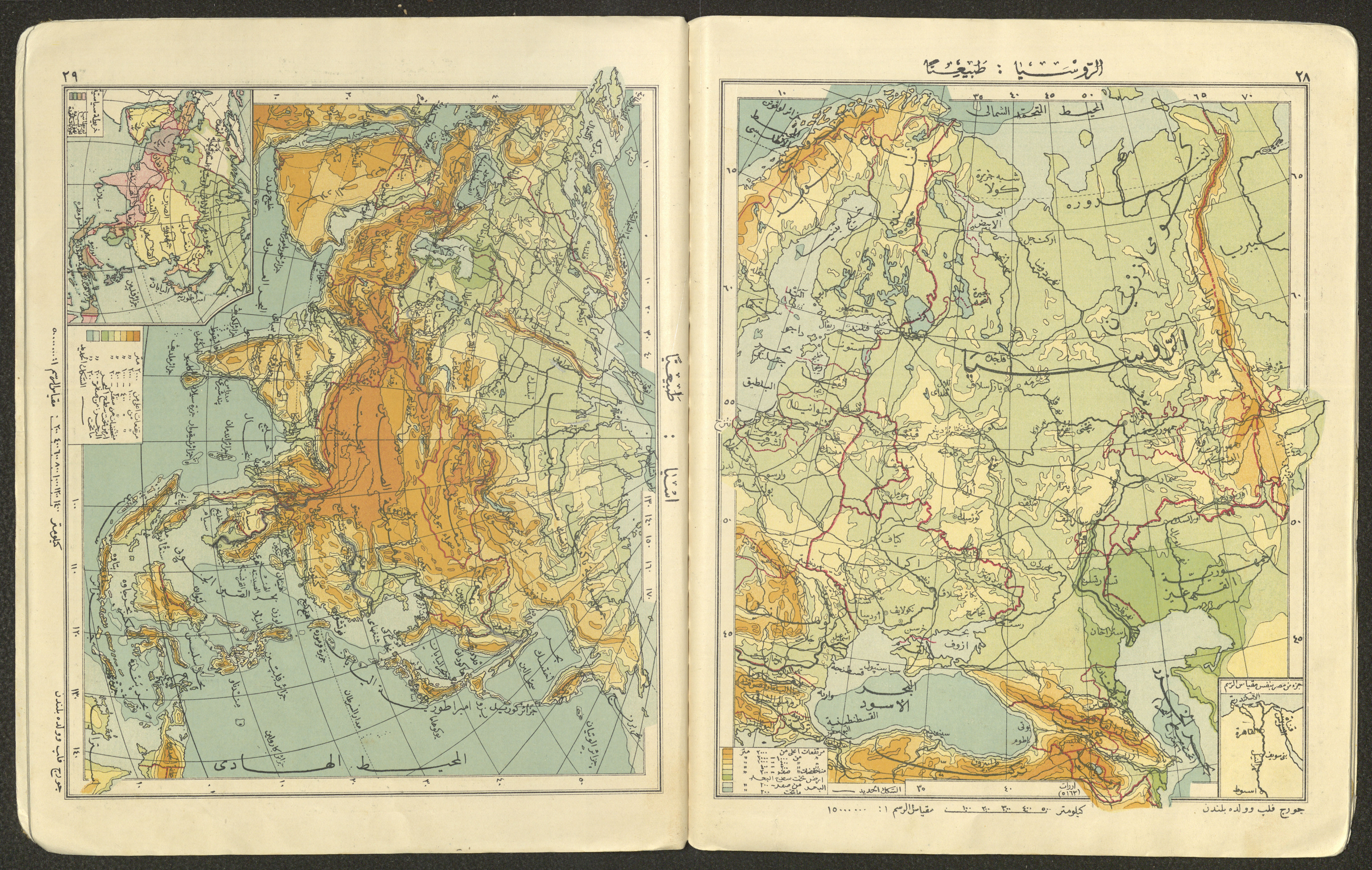
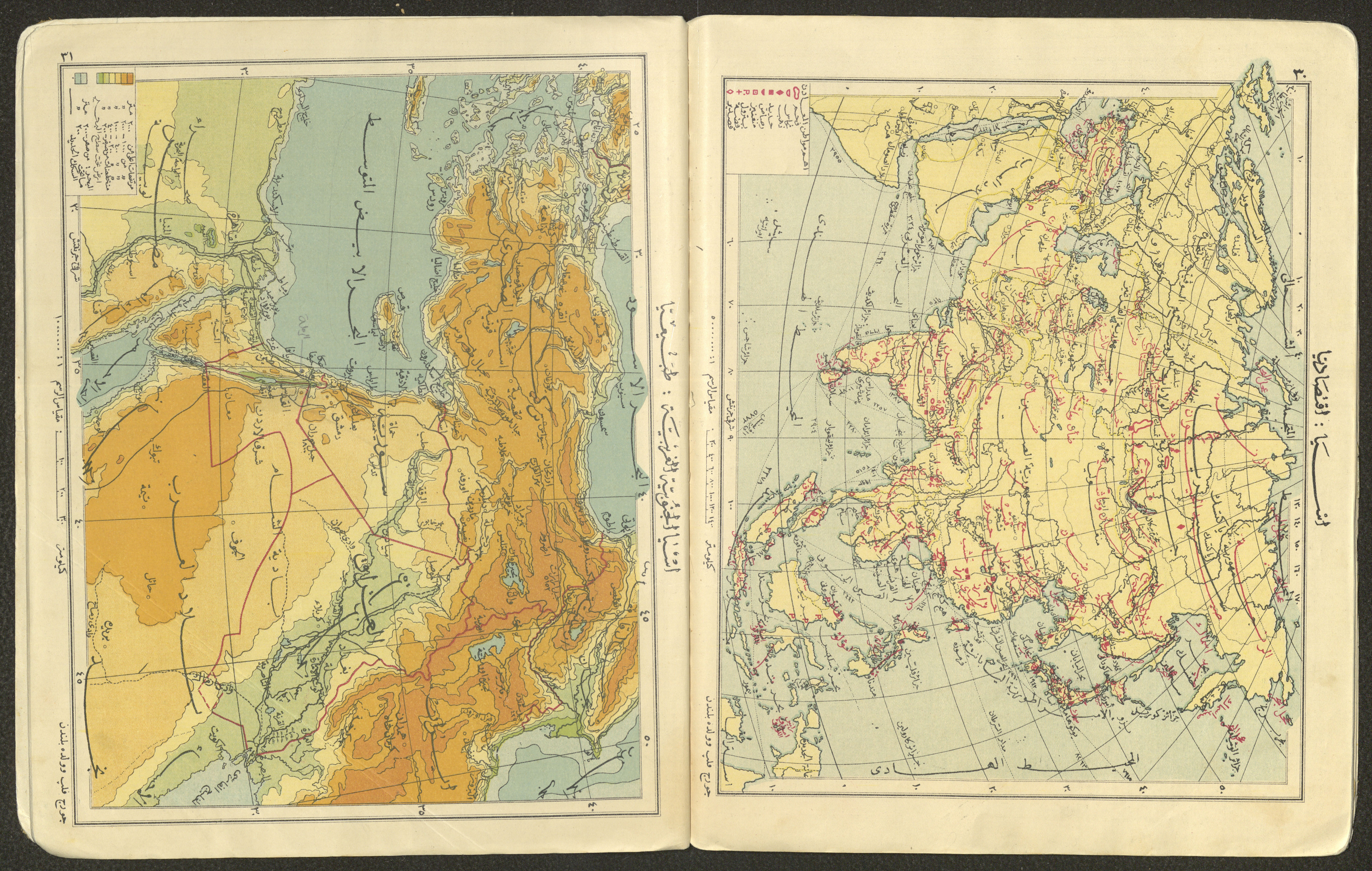
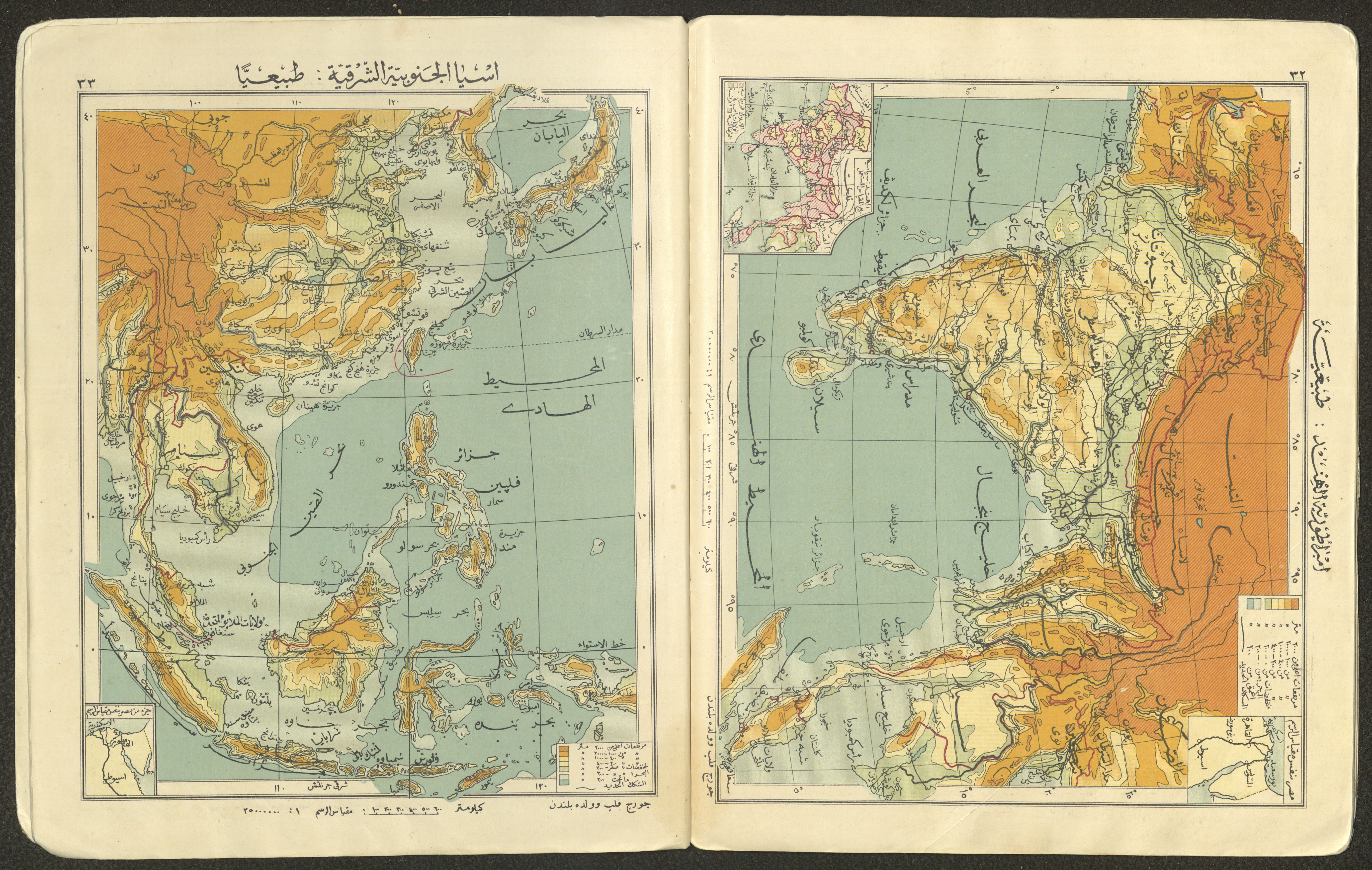
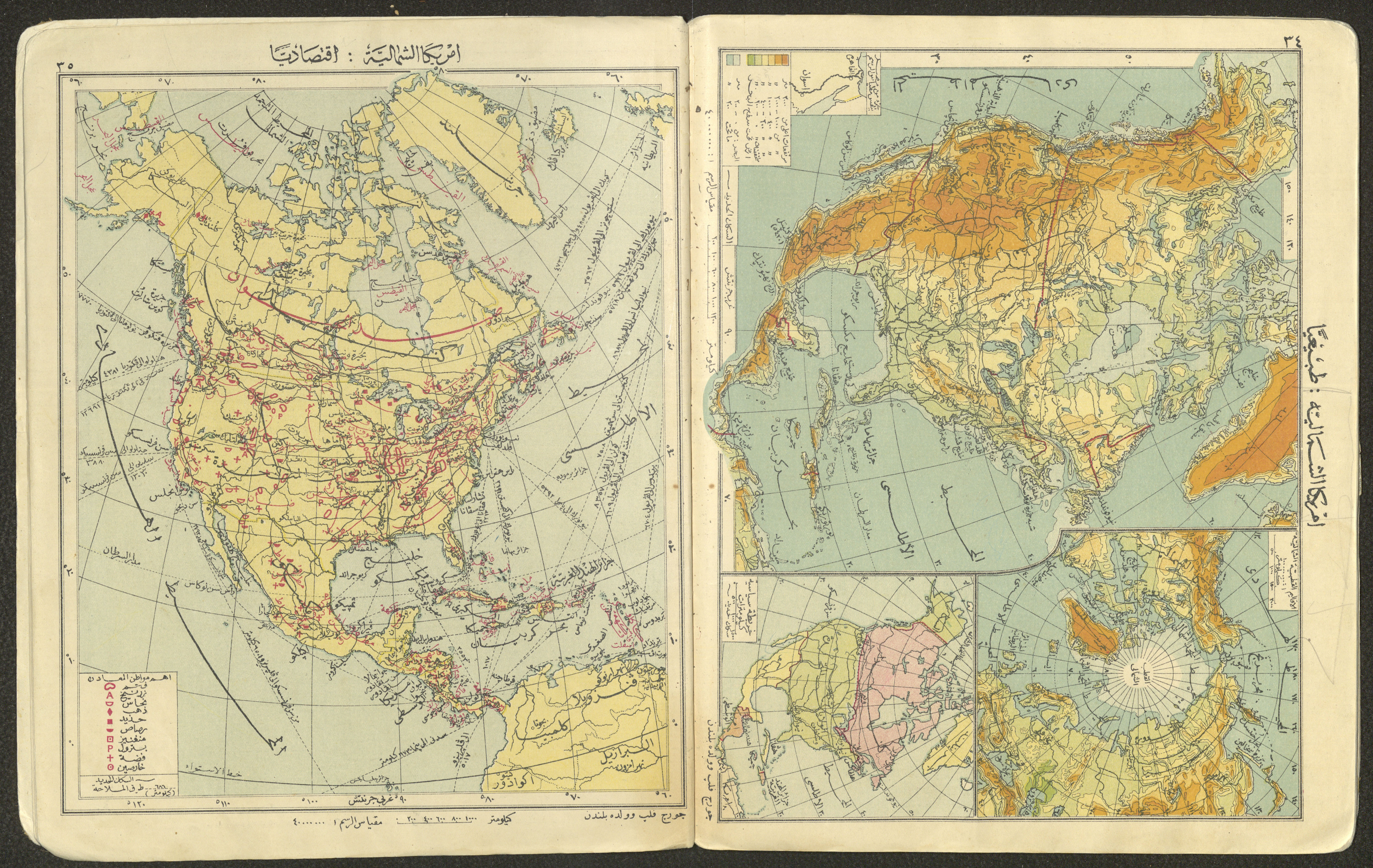
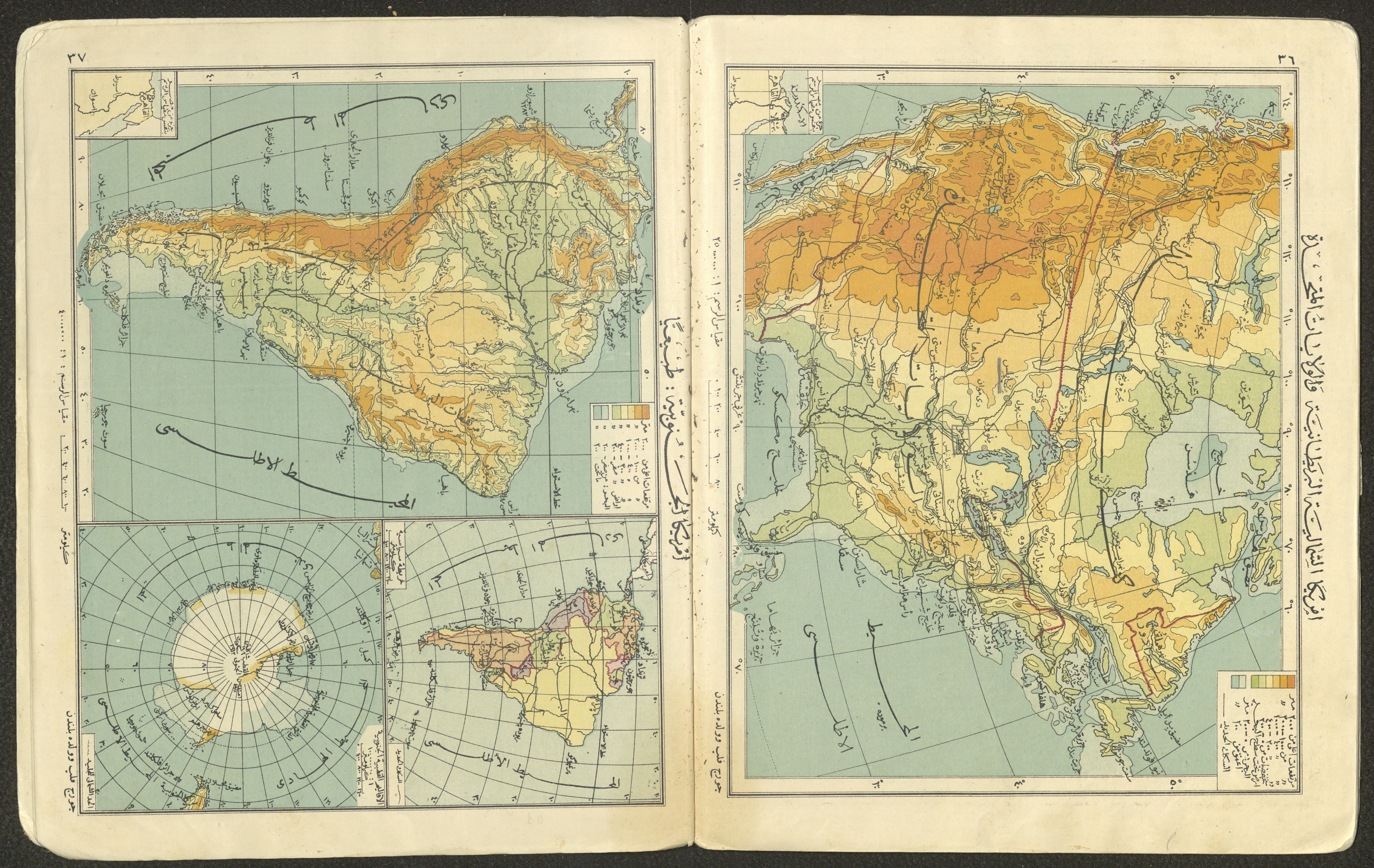
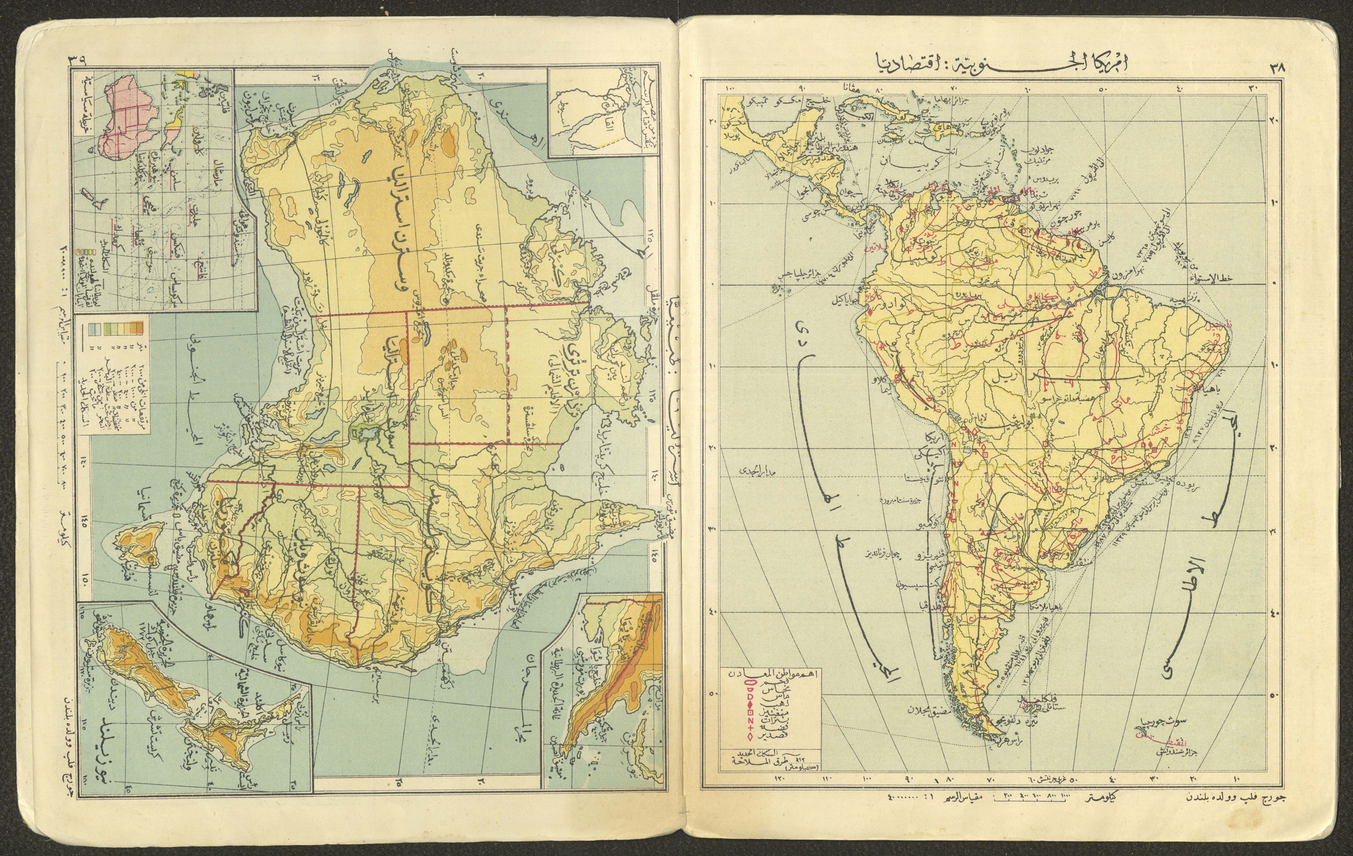
The first edition of a 40-page atlas featuring world maps, maps of continents, and maps of geographical and climatic regions and some important places around the world. Printed with the knowledge of George Philip and supervised by Muhammad Awad and Muhammad Fahim from the Ministry of Public Education in Egypt, the atlas was published in 1926 by al-Ma'aref Printing Press and the Library of Egypt owned by Najib Matri.
Date created
COLLECTIONS
Topics
TYPE
More details
Format
Source of Description
Abu Khdair, Noor. "The Sheikh Mohammad Saleh Alawi Collection". Archival Inventory. September 2021. The Palestinian Museum Digital Archive.
Help us refine the information, suggest a change in the content of this item
Suggest a ChangePrimary Atlas, 1926
This photo may contain violent content