0101.01.0076
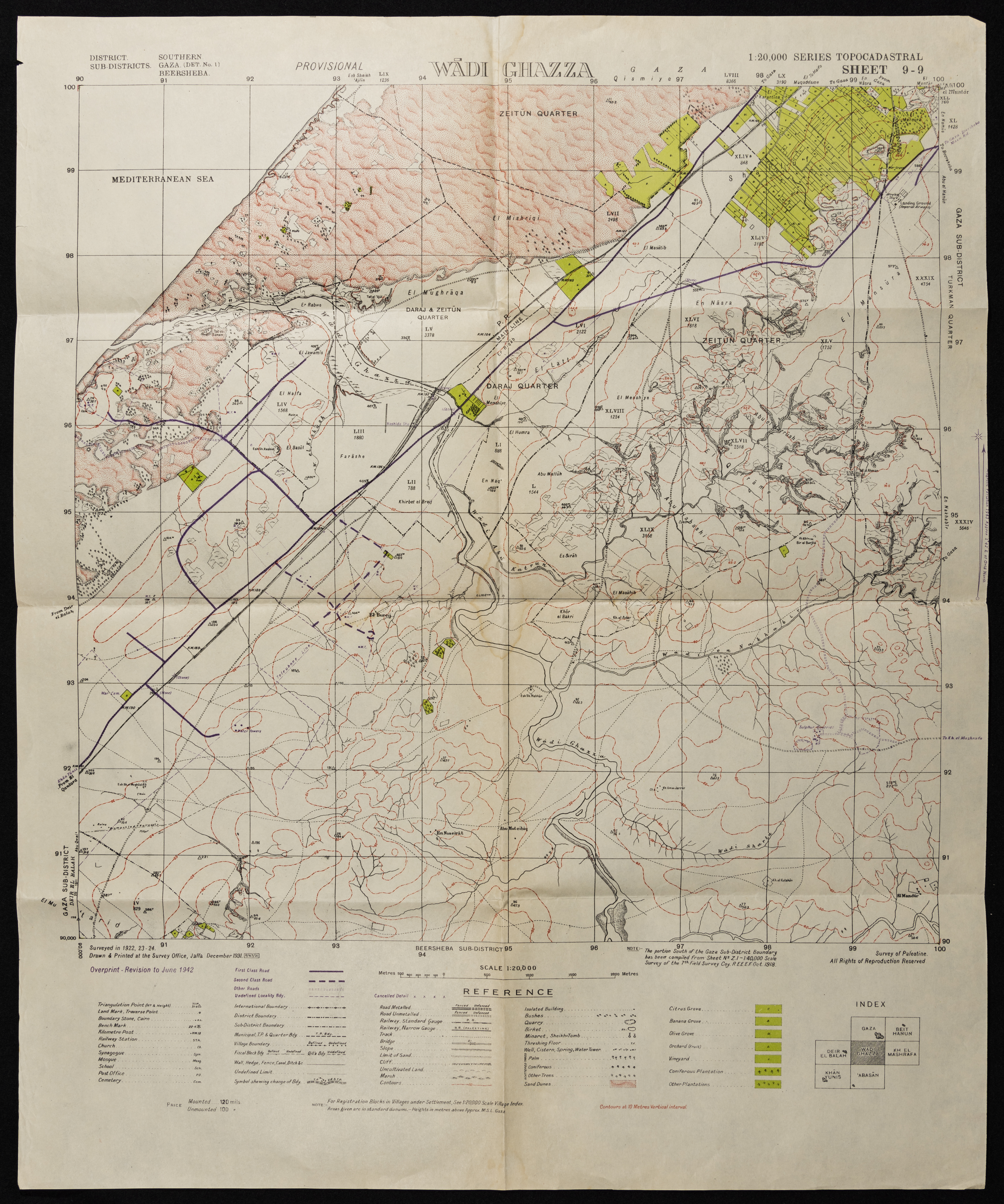
A Map of Wadi Ghazzeh, Printed by the British Mandate Survey Office
A map detailing the boundaries, roads, geography, and topography of Wadi Ghazzeh. The map lists the various types of planted trees and the places of worship in the area. Drawn and Printed by the British Mandate Survey Office, the map was modified by the Maps and Images Service of the Israeli Military Forces in the 1940s.
Date created
Tags
TYPE
LOCATION
More details
Format
Maps
Physical status
medium
Help us refine the information, suggest a change in the content of this item
Suggest a Change0101.01.0076
A Map of Wadi Ghazzeh, Printed by the British Mandate Survey Office
This photo may contain violent content