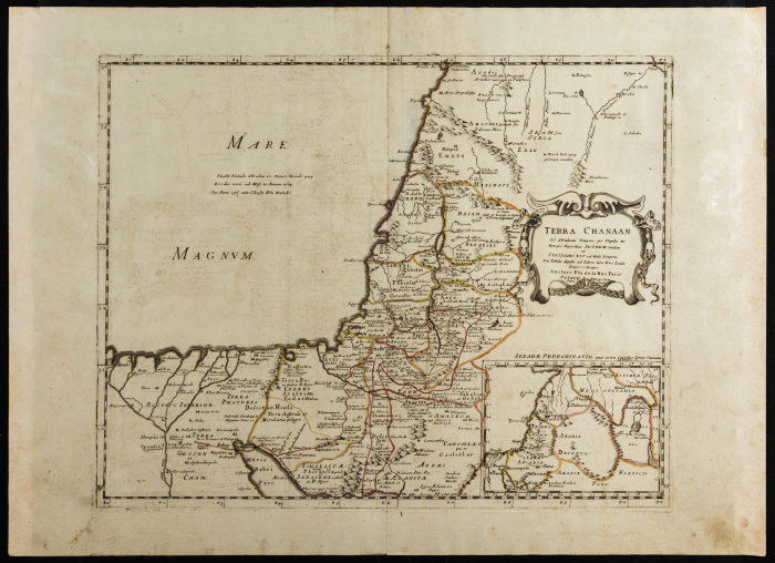
Map of the land of Canaan
In 1651 De La Rue published the Holy Land in six geographical maps; the first set of maps in chronological order on a unified theme. La Rue's goal was to trace the history of the world "from the beginning to the present". The six maps include the land of Canaan; the map shown in the photo, the Exodus, the Promised Land, the Kingdom of Solomon, the Land of the Jews during Christ's Time, the Christian Patriarchate of Jerusalem, and Modern Syria under Ottoman Rule. These maps showing the ancient kingdoms of the Middle East were an addition to the atlas.
Date created
Tags
TYPE
More details
Format
Maps
Physical status
medium
Help us refine the information, suggest a change in the content of this item
Suggest a Change
